Newport Coast Path
These brochures and maps showcase the Wales Coast Path at Newport, as well as Newport's many other attractions. The Countryside department was keen to include all relevant geographic, cultural and historical information.
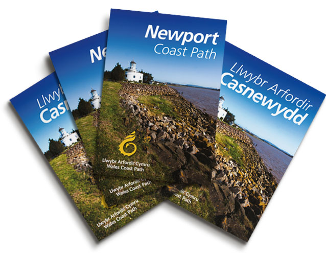
Our commission was to put it all together in user friendly publications for the public to use for planning and mapping their journey from one end of Newport’s Coast Path to the other. We managed the entire project which covered content research, writing, planning, design, photos, illustrations and print fullfilment of both the English and Welsh publications.
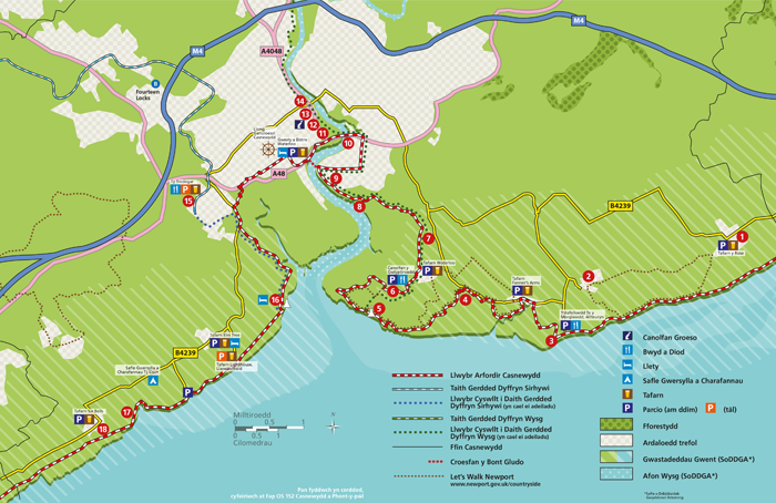
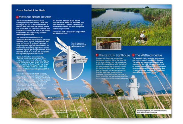
After outlining the rough plan for the booklets, our researcher and creative copywriter visited the points of interest, which we then brought to life in stories and photographs on creative page layouts. Taking existing maps from council archives and Ordnance Survey, we used them to form a new map that retained accurate and key information from Sites of Special Scientific Interest (SSSI) and land levels to local pubs, accommodation and parking.
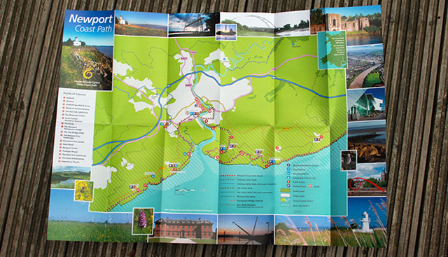
This fold out map was printed as an overall guide. The map detail was supported by inspirational landmark photos around the edges and a quick reference guide to interest points on the reverse.
As well as standard print, we created the guides as standard downloadable PDFs for the council website, but more interestingly we designed them as tablet ready ePublications.
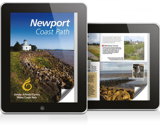
Print copies of the guide and map are available for free at tourism information centres around Newport, while PDFs are available from Newport Council’s website, where you will also find links for the ePublications. They're currently revising their 2014 edition.


